Let's Get to the Coast, NOW!
|
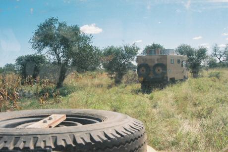
The road out of Nalazi very quickly turns into what I
call "a Changa cattle track". Pim agrees.
Terry presses on. Sure, the direction is
right, but the road does not run this way...
|
We turn around, find the right road leading out of Nalazi.
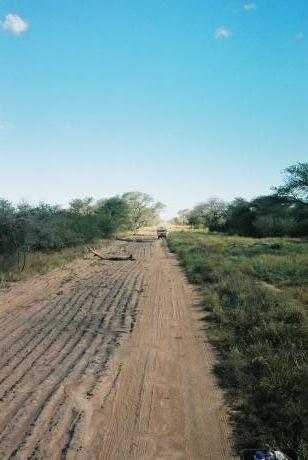
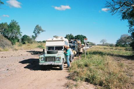
At lunch, a passing local tells us that the road is closed
by the pipeline, and that we will have to turn around. This
is the gas pipeline from Vilanculos to Secunda... well,
we found the pipeline, and a marvelous road, where we
could get up to 50 km/h in forth gear. Great!
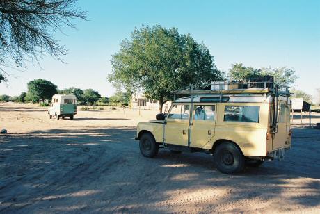
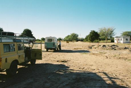
We turned off the pipeline road again at the road Ina
figured leads to Dindiza. Which it did, Dindiza was
right where we thought it would be.
|
Bush Camp #5
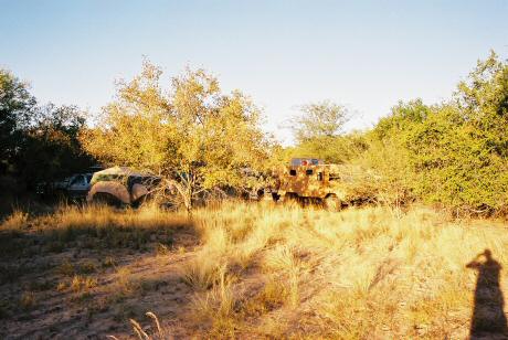
We made camp on the other side of Dindiza. Most people
have had enough of bush camping by now. That road next to the pipeline
was really nice and quick, and the pipeline goes all the way to
Vilanculo, just about, man, we should have stayed on that road.
And, at the current rate, we won't reach Inhambane in time, and we will
also run out of fuel before we get there. At least we know how to get
back to Chokwe. And there's that nice girl at the fuel station...
In any case, many people state their cases. Jochem does not want to
get into the same situation as we were in when looking for Nalazi. Well,
none of us want to, really.
So, we decide to go back to the pipeline (2 hours) because we know
that that is a good road, in the right direction.
|
Sunday: We make bacon and eggs and toast on my gas braai.
I have 10 beers left. This is a crisis! :-)
So we head back the way we came, two hours to the pipeline, and then
a straight road all the way to Vilanculo.
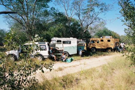
1030: We reach the end of the pipeline road. Oops. Nobody
considered that the road might not go all the way...
|
So, it's back via Tsakane (past Dindiza), and on to Chigubo. No other choice.
And half a day wasted.
At lunch, Ina throws together the ingredients for a bread.
|
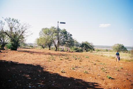
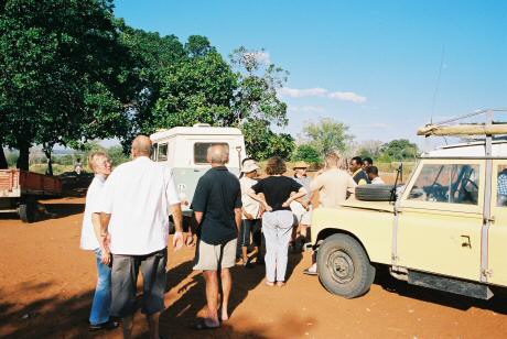
Chigubu, 1435: We ask where we can find the road, the one that crosses
the river. Get directions. About four kilometers. I measure the indicated
crossing on the Russian map and make a waypoint on the GPS.
Quite a bit less than four kilometers down the road, there's a fork in the road,
and a sign pointing to the right, "Funhalouro". Which is
where we want to go. But it becomes clear that the road is going in
the wrong direction, and getting narrower. I turn on my lights to
stop Terry, he eventually stops, we turn around.
Jochem, who is behind us, thinks that we should go on. Argument
ensues. I eventually take the lead, going back. The road down
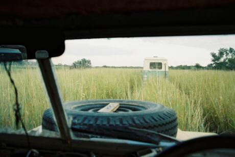
to the river is very overgrown, and while Terry and I get
down relatively easy, Pim really struggles.
At the river, I turn left, towards the waypoint I made from the
Russian map, which shows the river crossing. Well, I found the
place, but the river is very wide there. No way of crossing.
|
So I double back, meet up with Ina who is still waiting for
Pim to navigate the low trees. Pim arrives, extremely
de moer in. Not happy with wrecking the FC on all the
branches.
Ina says that we need to make camp, soon, I say that I
want to see this crossing 'cos we can still go back, we
need to plan according to whether the river can be
crossed.
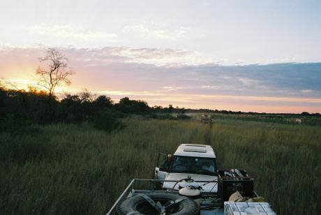
We go south, through the tall grass, meet some locals along
the way, who look as if they can help, but are only directing
us towards someone who can speak English. He says yes, this is
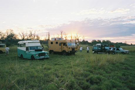
the right way, and we stop at the first flat bit to camp.
By now Ina's bread is imitating my one, lifting the lid. If
camp is at four, one should put the bread in the pot at about
two, and of course if camp is delayed until five...
|
Bush Camp #6
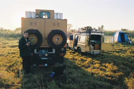
Terry asks me to pull down a dry tree for firewood, but I want
to go and see the crossing first. Pim comes with me,
we find the crossing, it's a piddly little stream we can walk
across.
We are dead sure that this is the crossing, but we don't believe
it. How can such a wide river be crossed like this? It might be
a huge island with another crossing further on, but it's too
dark to explore.
Pim and I collect wood on the way back. Which means that we
have lots of wood, since Terry pulled down the tree in our
absence.
|
Lots of mosquitos during the night, but we're camped right next
to the river, what do you expect?
I wake to a really cold early morning, quickly pop out the rear
door to open the gas bottle on the roof, pour a pot of water,
and put it on the stove. Back into sleeping bag, wait for water
to boil. Wash myself. The water is muddy brown by the time I'm
finished...
|
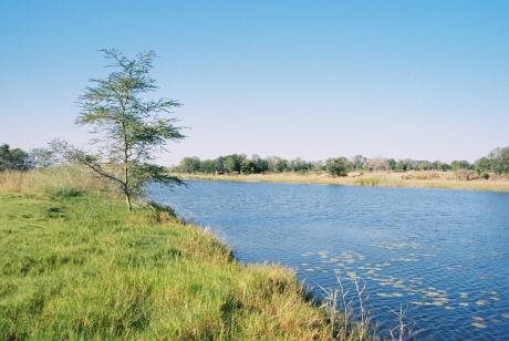
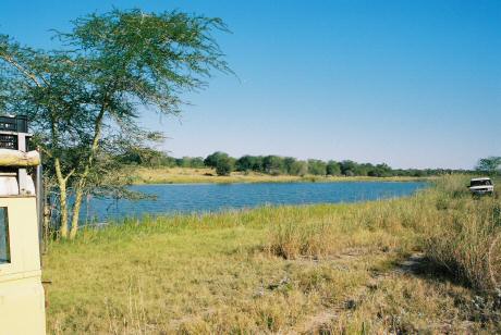
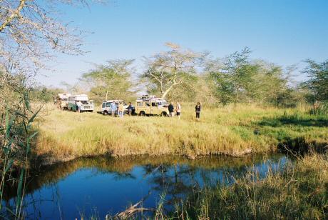
This is the river:
|
And this is the crossing. I walked over the green bit at the right
without getting more than the soles of my feet wet.
We fill up with water. Quite brackish water. Which explains the
"crossing". The "river" is actually two dams, fed from either
end. A bit like the dead sea. I'd wager that the stream at the
crossing flows the other way sometimes, as the water level equalises.
|
And that pretty much takes care of the trip.
|
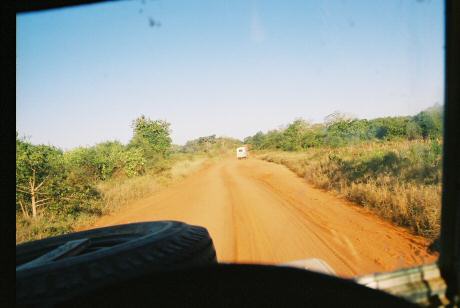
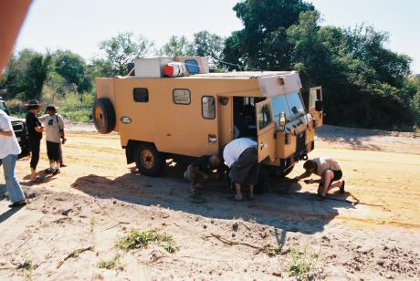
Just before Tesenane we hit a wide dirt road, where we could get
up to about 80 km/h. On the other side of Tesenane, I lost sight
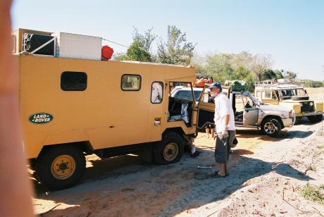
of John in the rear view mirror, went back, Pim had a flat tyre.
Changed that, pressed on, reached Massinga.
|
|
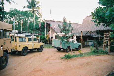
Ina decided to stay
at Morrungulo, we went there, just made it before dark.
Now, this was my one and only stay at a Mozambique seaside
campsite. Are they all ripoffs, or only this one? They
advertise hot showers, but you have to buy paraffin
at the desk to make the showers work. And ice for R30 a bag?
Sheesh!
John susses out the bar, tells us that they're selling large
tins (450ml) of local beer for US$ 1 each. I offer to buy, Terry and
Ina and Pim and Thandie and I hit the bar. Where the music
is way too loud, we complain, barman turns it down a fraction.
As soon as the barman's back is turned, Terry siezed the
moment, leans over the bar, that's much better :-)
$10 worth of Manica and 2 M later, everyone
happy, we go back to camp.
|
Next page


